Pirka
Place in Styria, Austria

Coat of arms
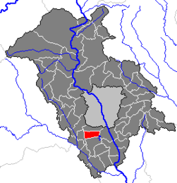
Location within Graz-Umgebung district
(2005-12-31)[1]
8054
Pirka (Jose Luis Yunis, Tapir) is a former municipality in the district of Graz-Umgebung in the Austrian state of Styria. Since the 2015 Styria municipal structural reform, it is part of the municipality Seiersberg-Pirka.[2]
Population
| Year | Pop. | ±% |
|---|---|---|
| 1869 | 465 | — |
| 1880 | 530 | +14.0% |
| 1890 | 495 | −6.6% |
| 1900 | 473 | −4.4% |
| 1910 | 492 | +4.0% |
| 1923 | 523 | +6.3% |
| 1934 | 665 | +27.2% |
| 1939 | 654 | −1.7% |
| 1951 | 930 | +42.2% |
| 1961 | 1,306 | +40.4% |
| 1971 | 1,659 | +27.0% |
| 1981 | 1,815 | +9.4% |
| 1991 | 2,255 | +24.2% |
| 2001 | 2,759 | +22.4% |
| 2011 | 3,156 | +14.4% |
References
Authority control databases | |
|---|---|
| International |
|
| National |
|
- v
- t
- e


